
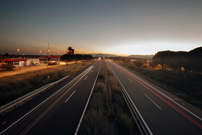
Top 10 Countries by Motorway and Paved Road Density (km per 1,000 km²), 2025
Motorway and paved road density in 2025: how to read the ranking safely
Road density per 1,000 km² is a useful infrastructure-intensity metric because it avoids the basic bias of absolute network size. Large countries almost always have more road kilometres than small ones. Density asks a more comparable question: how much motorway or paved network exists inside a fixed amount of land area.
That said, this metric is only publication-safe when the numerator and denominator are matched consistently. The motorway length must follow the source definition actually used by the statistical series, the denominator must be land area rather than total surface area, and the observation year must reflect the latest visible source value country by country. When those rules are not followed, rankings can shift materially.
The revised version below treats 2025 as a current analytical snapshot built mainly on 2023-era infrastructure observations. It keeps the transport logic of the original piece, but removes unsupported certainty and frames the cross-country comparison more carefully.
Dense road networks do not automatically mean better transport outcomes. Compact geographies, coastal layouts, cross-border commuter flows and urban concentration can all raise density. Mountains, deserts, islands and very large territories can depress density without necessarily implying poor mobility performance.
Selected motorway-density benchmarks that can be reproduced from public source values
Instead of repeating a full Top 100 table that mixes directly checkable values with difficult-to-trace entries, the benchmark table below highlights countries where the motorway length and land-area logic can be publicly reproduced more transparently. This is the safer way to publish the article until a fresh country-level export of the full IRF dataset is revalidated line by line.
| Country | Public motorway length used | Recomputed density | Publishing note |
|---|---|---|---|
| Netherlands | 2,793 km | 83.0 km per 1,000 km² land area | Draft understated density; this is not compatible with a 64.0 figure if land area is used. |
| Luxembourg | 167 km | 64.5 km per 1,000 km² land area | Broadly consistent with a low-60s density ranking. |
| Belgium | 1,763 km | 57.8 km per 1,000 km² land area | Broadly consistent with the original ordering near the top. |
| Germany | 13,210 km | 37.9 km per 1,000 km² land area | Broadly consistent with a high-density Western European position. |
| Spain | 15,886 km | 31.8 km per 1,000 km² land area | Draft likely understated density. |
| Portugal | 3,113 km | 34.0 km per 1,000 km² land area | Broadly consistent with a low-30s result. |
| Austria | 1,749 km | 21.2 km per 1,000 km² land area | Draft value 35.0 is not reproducible from the visible numerator-denominator pair. |
| Czechia | 1,388 km | 18.0 km per 1,000 km² land area | Draft value 34.0 is not reproducible from the visible numerator-denominator pair. |
| Latvia | 0 km | 0.0 km per 1,000 km² land area | Should not appear as a positive motorway-density entry in a Europe-based comparison. |
The broad pattern still holds: compact Western European and Benelux-type systems remain extremely dense, while lower-density systems usually reflect either larger land areas, more difficult terrain, later motorway buildout, or a strategic bias toward ordinary paved roads rather than controlled-access corridors.
Insights and interpretation
The strongest analytical takeaway is that motorway density and paved-road density tell related but different stories. Motorways capture high-speed corridor capacity. Paved roads capture the thickness of everyday access: local streets, secondary connectors, peri-urban grids and ordinary national roads. A country can rank well on one and only moderately on the other.
This matters because transport systems are built for different jobs. A compact trade hub may concentrate heavily on fast corridors and score well on motorway density even if its overall street fabric is not the world’s broadest. Another economy may show a very dense paved network because it has many settlements, local roads and suburban connectors, yet still face corridor bottlenecks if the limited-access layer is relatively thin.
The difference between the two indicators also has a budget meaning. High motorway density can support freight speed and travel-time reliability, but it comes with expensive structures, interchanges, tunnels, resurfacing cycles and winter-service burdens. Very high paved-road density broadens access and redundancy, but it also expands the maintenance surface that governments must fund year after year.
In policy terms, density is best read as network intensity rather than network quality. It is a strong context variable for logistics, commuting and regional connectivity, but not a stand-alone scorecard of safety, resilience, pavement condition or user experience.
What this means for the reader
For business readers, higher motorway density usually points to shorter detours, better corridor redundancy and more predictable domestic trucking or commuting inside compact economies. That can lower inventory risk, reduce time losses and improve the reliability of just-in-time distribution.
For households, dense paved-road networks often translate into better everyday access rather than faster travel. They matter for school trips, emergency response, suburban movement, municipal services and local business catchment areas. In other words, paved density often speaks more to day-to-day accessibility, while motorway density speaks more to intercity flow and long-haul efficiency.
For investors and policymakers, the most important point is cost. Dense systems are expensive to preserve. A country can look impressive in a ranking and still face a heavy lifecycle burden from resurfacing, bridge works, drainage, safety retrofits and climate adaptation. The “best” road network is not the one with the biggest number, but the one whose density matches settlement patterns, terrain and fiscal capacity.
Methodology
This revised version uses the same core logic as the original article but applies stricter publication rules. The metric remains motorway or paved-road length divided by land area, multiplied by 1,000. Land area is used instead of total surface area so inland water bodies do not distort the denominator.
The main source base is the 2025 edition of IRF World Road Statistics, which covers 2018–2023. For motorway cross-checks, UNECE and Eurostat are particularly useful because they expose more directly traceable public motorway-length series and methodological notes. World Bank land area is used as the denominator reference.
The article should be read as a 2025 analytical snapshot built on the latest internationally visible road-data years, mostly around 2023. That means the “2025” label describes recency of analysis, not a claim that every country has an official 2025 infrastructure observation.
There is one important limitation: full country-level paved-road rankings are harder to audit publicly than motorway rankings because the most useful global series sit inside the IRF warehouse workflow. That is why a publication-safe version should avoid over-precise global claims for paved density unless the country export has been freshly rechecked row by row.
FAQ
Because density divides network length by land area. A relatively modest motorway system can look extremely dense if the country is compact and highly urbanised.
No. It usually helps corridor efficiency, but logistics performance also depends on border procedures, port access, congestion, maintenance quality, traffic management and the condition of ordinary roads beyond the motorway layer.
Because they measure different layers of the network. Motorways reflect fast, limited-access corridors. Paved roads reflect the broader everyday access fabric, including local and secondary roads.
It means the article is a current comparative snapshot using the latest internationally harmonised data that are publicly visible or source-traceable. It is not a claim that every country has a measured 2025 road network figure.
Because official European transport statistics describe Latvia as having no motorway network. A positive motorway-density figure for Latvia should therefore not be published without a very explicit alternative definition and source note.
Yes. Large territories, mountains, deserts, forests and dispersed settlement patterns naturally reduce density. In such cases, network quality, reliability and strategic corridor placement may matter more than a raw density score.
Primary sources
These are the source families that can support a cleaned-up publication version. For the exact global Top 100 paved-road table, the safest workflow is a fresh IRF export followed by a denominator check against land area.